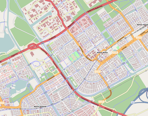
Free geographic data such as street maps to anyone who wants them
OpenStreetMap
Voir aussi la page suivante
Map Features
Exemple 😉
| highway | motorway | |
A restricted access major divided highway, normally with 2 or more running lanes plus emergency hard shoulder. Equivalent to the Freeway, Autobahn etc.. |

|

|
| highway | motorway_link | |
The link roads (sliproads / ramps) leading to and from a motorway. Normally with the same motorway restrictions. .. | 
|
|
| highway | trunk | |
Important roads that aren’t motorways. Typically maintained by central, not local government. Need not necessarily be a divided highway. In the UK, all green signed A roads are, in OSM, classed as ‘trunk’. |

|
|
| highway | trunk_link | |
The link roads (sliproads / ramps) leading to and from a trunk road. .. | 
|
|
| highway | primary | |
Administrative classification in the UK, generally linking larger towns. |


